HILLSBOROUGH PHOTOGRAPHY Logo

AERIAL PHOTOGRAPHY & CINEMATOGRAPHY

Aerial perspectives using professional drones provide a unique and cost affordable solution for:

  • Aerial videos and imagery to show land features, historical and archeological sites
  • Cell Tower assessment
  • Create a digital 3-D image of a structure (photogrammetry)
  • Property listings
  • Insurance estimator to review a claim for roof damage
  • Builder site assessment and progressive views
  • Structure preservation in digital format
  • Thermal Imaging

Aerial Photos, Land Visualization, Thermal Imagery

$395.00

Drone Cinematography

$495.00

Cell Tower Workers - Hillsborough NC

Construction Assessment - Aerial Photography

Repairing Roof Damage from Fallen Tree

New Underlayment and Shingles Installation

Framers Setting up Main Floor

Framers Setting up Main Floor and Basement View

Window Installation

Aerial Cinematography

"In Memory of the Occaneechi" - a short film

"Waves of Life"

Thermal Imaging

Land Aerial Visualization

Area Measurement from 135 Images Captured by Drone

Orthomosaic Image Side View of 135 Camera Positions

Orthomosaic Image Top View of 135 Camera Positions

Orthomosaic Image Front View of 135 Camera Positions

Smooth Rendering of Orthomosaic Image

Drone Photo #1/135 of Area to be Mapped, 0 degrees (Nadir), 170 ft Altitude, 70-80 % Overlap

Drone Photo #10/135 of Area to be Mapped, 0 degrees (Nadir), 170 ft Altitude, 70-80 % Overlap

Drone Photo #20/135 of Area to be Mapped, 0 degrees (Nadir), 170 ft Altitude, 70-80 % Overlap

Drone Photo #40/135 of Area to be Mapped, 0 degrees (Nadir), 170 ft Altitude, 70-80 % Overlap

Drone Photo #90/135 of Area to be Mapped, 0 degrees (Nadir), 170 ft Altitude, 70-80 % Overlap

Drone Photo #100/135 of Area to be Mapped, 0 degrees (Nadir), 170 ft Altitude, 70-80 % Overlap

Drone Photo #110/135 of Area to be Mapped, 0 degrees (Nadir), 170 ft Altitude, 70-80 % Overlap

Residential Real Estate

Lone Star Farm - Aerial View

A Cabin in the Woods

PROFESSIONAL PORTRAITS
SMALL BUSINESS & PRODUCT PROMOTION
AERIAL CINEMATOGRAPHY
COMMERCIAL, RESIDENTIAL REAL ESTATE & CONSTRUCTION
LANDSCAPE ART
ABOUT
CONTACT
COPYRIGHT © 2025 DRONE DATA AND FILM® L.L.C. ALL RIGHTS RESERVED
Crafted by PhotoBiz
HILLSBOROUGH PHOTOGRAPHY Logo
  • HOME
  • PORTRAITURE
  • SMALL BUSINESS PROMOTION
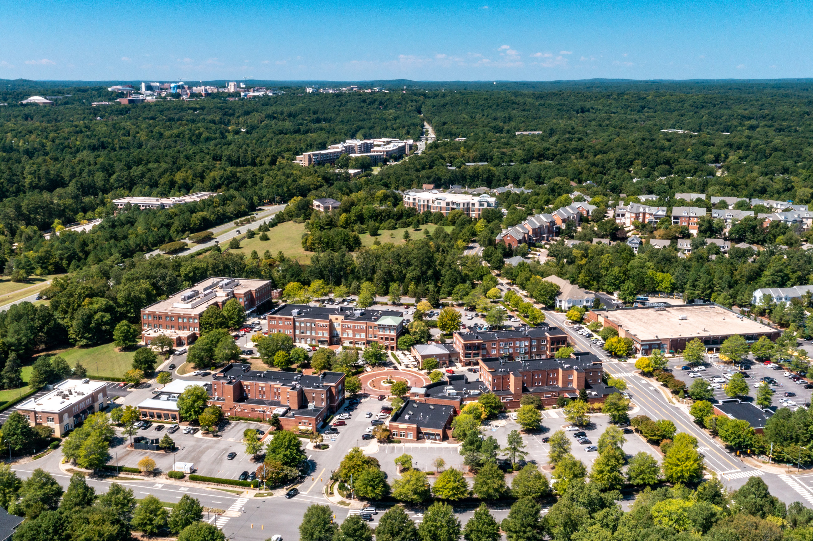
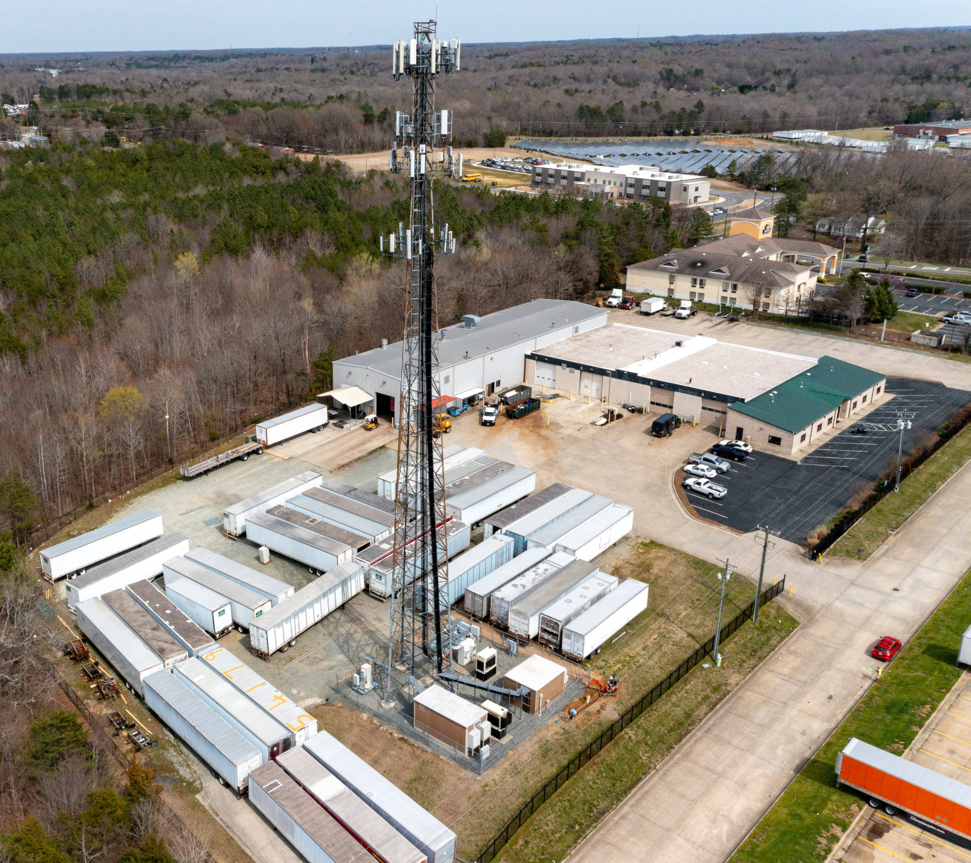
  • COMMERCIAL AND RESIDENTIAL REAL ESTATE
  • AERIAL CINEMATOGRAPHY
  • CLIENT EVENTS
  • FAQs
  • CONTACT
  • PHOTO SALES
o 919.241.4739